-
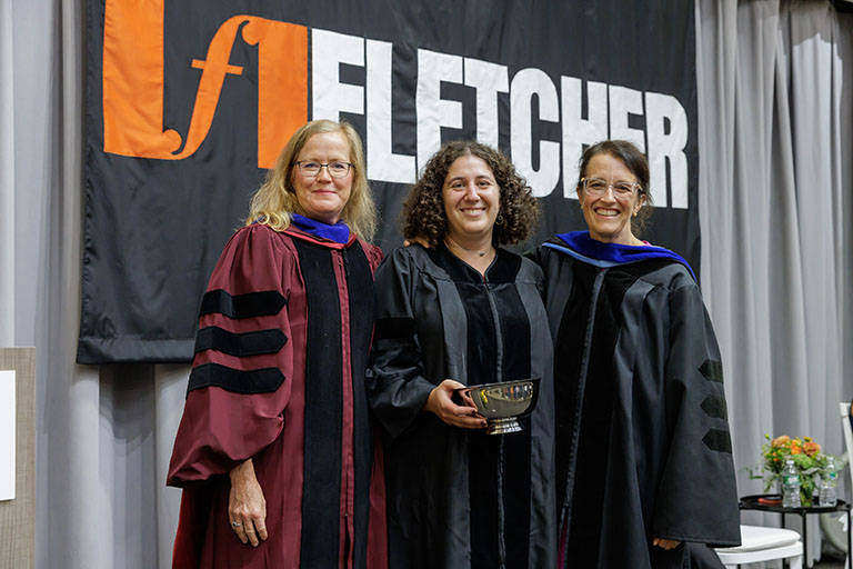
Hear from Monica Toft, Academic Dean
Learn how Monica Toft, Academic Dean, is shaping the study of global affairs and diplomacy at Fletcher.
Hear from Prof. Toft -
Explore Fletcher academics in action
Fletcher Features offers insights, innovation, stories and expertise by scholars.
Get global insights -
Get application tips right from the source
Learn tips, tricks, and behind-the-scenes insights on applying to Fletcher from our admissions counselors.
Hear from Admissions -
Research that the world is talking about
Stay up to date on the latest research, innovation, and thought leadership from our newsroom.
Stay informed -
Meet Fletcherites and their stories
Get to know our vibrant community through news stories highlighting faculty, students, and alumni.
Meet Fletcherites -

Forge your future after Fletcher
Watch to see how Fletcher prepares global thinkers for success across industries.
See the impact -
Global insights and expertise, on demand.
Need a global affairs expert for a timely and insightful take? Fletcher faculty are available for media inquiries.
Get in Touch
Geospatial Tools for Digital Inclusion
Marcia Moreno-Baez leverages data for a more inclusive blue economy
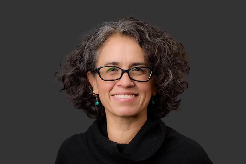
Marcia Moreno-Baez is an interdisciplinary whiz. Using geospatial technology, she tackles a wide range of environmental problems in her research; she seeks to understand how the impacts of resource extraction are distributed over space and time, and what strategies and policies can be developed to tackle this problem while also applying her research to support environmental justice. A deft interpreter of data, she untangles the overlay of fisheries, economics, and ecology in coastal communities.
One of her core areas of focus is coastal fishing communities’ resilience under a changing climate and the blue economy. While there are many definitions, she distills the work of blue economies to a few key questions.
"How can we use our ocean’s resources sustainably for economic growth, improved livelihoods, and jobs? Many sectors realize how vast and rich our oceans are. When the resources seem endless, the question is how we can make use of them, while preserving the health of marine ecosystems” said Moreno-Baez. “The idea is that the blue economy needs to have a different approach; we can’t just extract resources from our oceans. Our oceans are what keep us alive.”
Geospatial technology provides powerful tools to build more resilient fisheries and coastal economies. For example, by collecting data using geographic information systems (GIS) and trackers, Moreno-Baez worked with fishing communities in the upper Gulf of California, Mexico. Cooperating with fishermen to collect data on the Gulf corvina, a demersal species of croaker endemic to the Northern Gulf of California, her team found that spawning and fishing are synchronized on a semi-lunar cycle. With this new information, they were able to demonstrate the benefits of combining geospatial technology and fisheries data to co-produce spatial-temporally explicit information relevant to management and policy. Instead of disbanding the fishery, the data provided insight into a fishery that depends on a migration pattern, making the economy, communities, and ecosystem more resilient. GIS allowed researchers to look at multidimensional data and integrate information to assess complex problems such as community resiliency.
“Technology helps us access and generate information. Understanding how it’s being used and how it might have an influence on solving complex problems is a great opportunity for us,” she said.
She and her colleagues extend this work one step further, bringing questions of equity and justice to spatial analysis in order to support her goals of digital inclusion in the blue economy. This she understands through three criteria: how communities can pay for technology, who are the communities that want to pay for that technology, and who are the communities that have the access and infrastructure to deploy the technology. By diagnosing communities through these criteria, she can help with building a decision support system that helps identify strategies and policies to inform the community’s various needs. Taking into account barriers to entry, such work allows more communities to become part of the blue economy.
Wrapping up her second year at The Fletcher School, Moreno-Baez has seen that there’s real value for students in becoming equipped with the tools of geospatial technology.
In her GIS for International Applications course, students complete a final project, which she has always enjoyed reviewing. Students develop a project based off of their academic interests, approach the problem with a couple of spatial questions, and use GIS to find answers. She’s been thrilled to see how these projects have developed. Students who work on human migration have looked into migrants’ vulnerability along their journeys. Others interested in climate change have investigated opportunities to invest in green energy projects, such as wind and solar farms. Students who study conflict have looked at developing circumstances in Ukraine, Myanmar, and Iran.
“It’s been such an interesting journey for me to see students apply the skills that they’re gaining with the class, that are going to be quite useful after graduation,” said Moreno-Baez
In her advanced course, students focus on analysis, and she recommends this course to those interested in data analytics or data science. Regardless of a student’s skill level or experience, she believes that data tools provide powerful insight into decision-making processes and that all students should give this work a try.
“I truly believe that students at Fletcher really can gain quite a bit from getting their hands in data, topics like data science or anything related to data,” she said. “Geospatial technology really helps them gain skills that not a lot of people have. Understanding different dimensions of data is something that is hugely important in decision-making processes. It really helps them gain skills to recognize that problems can be multifactorial and should be explored from different angles and not just one. I love teaching that to students and seeing them realize its power.”
Read more about Fletcher’s MALD degree program.

